Voor B&B Het Spoel in Culemborg maakte ik diverse aanzichten en plattegronden.
For B&B Het Spoel in Culemborg, I made several drawings and maps.
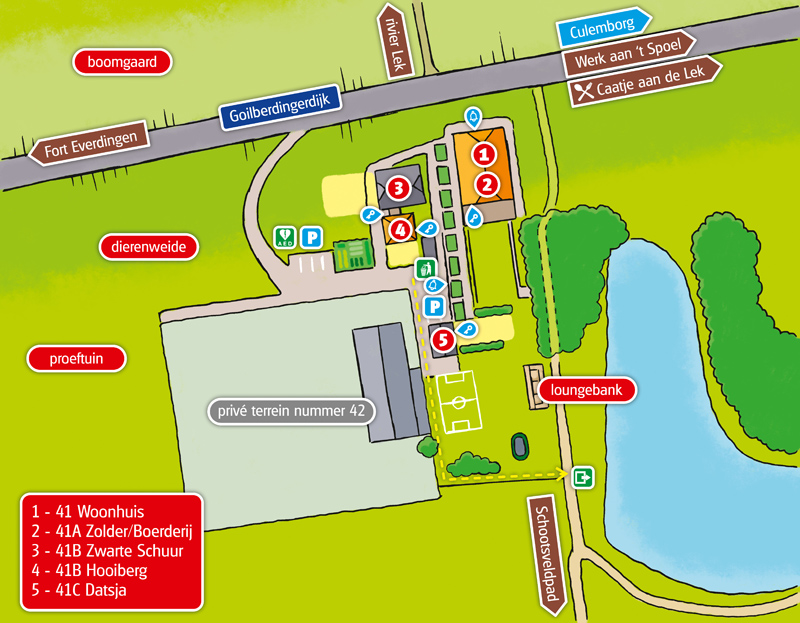
Een plattegrond met de verschillende appartementen, toeristische tips en wat verder nodig is om gasten wegwijs te maken.
A map showing the different apartments, touristic info and whatever else is needed to inform the guests.
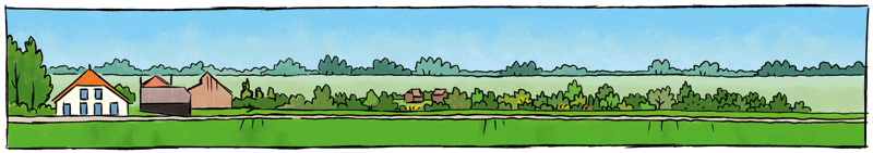
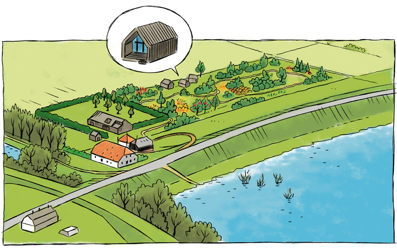
Twee tekeningen voor vergunningsaanvragen. De tekening hierboven laten zichtlijnen zien vanaf de dijk langs de Lek: er moet vrij zicht zijn op de horizon (de dijk is onderdeel van de Nieuwe Hollandse Waterlinie en is een beschermd landschap). De tekening hieronder geeft een impressie van het voedselbos of de proeftuin die wordt aangelegd, en eventuele vakantiewoningen in de vorm van de bunkers die in deze omgeving veel voorkomen, ook onderdelen van de Nieuwe Hollandse Waterlinie.
Two drawings for permit requests. The drawing above shows the view lines from the dike along the River Lek: there must be a free view to the horizon (the dike is part of the New Dutch Waterline and is a protected area). The drawing below shows an impression of a food forest or food garden that will be created. It also shows possible holiday chalets in the shape of the bunkers that can be seen in this area, also parts of the New Dutch Waterline.